> For the complete documentation index, see [llms.txt](https://docs.jakarto.com/guide-jakartowns/llms.txt). Markdown versions of documentation pages are available by appending `.md` to page URLs; this page is available as [Markdown](https://docs.jakarto.com/guide-jakartowns/en/viewing-data/type-de-donnees.md).
# Data Types
Jakartowns provides access to two main types of data:
## 3D Cartographic Data
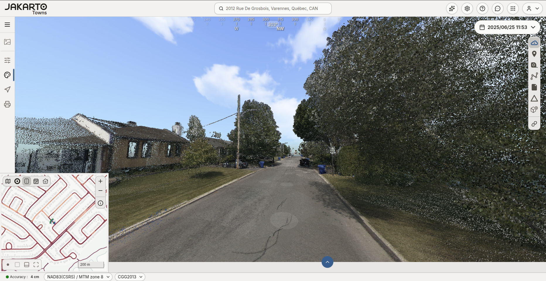
### Point Clouds
Point clouds contain the maximum level of detail and accuracy offered by the sensors used during acquisition. They make it possible to extract precise 3D coordinates of the captured environment. This 3D data feeds software that supports 3D mode, such as certain Geographic Information Systems (GIS) and Computer-Aided Design (CAD) software. Point clouds are characterized by their "absolute inventory" potential: several uses can be derived from the same data.
### Panoramic Images
Panoramic images provide a realistic 360-degree view of the captured environment, offering an immediate visual representation of the context of objects of interest, buildings, streets, and landscapes.
## 2D Cartographic Data
2D cartographic data — raster tiles equivalent to a very high-resolution orthoimage generated on-the-fly from the 3D point cloud — provides an extremely detailed 2D representation of the environment. This 2D data is accessible within Jakartowns on the 2D reference map.
Behind the scenes, to display this data, Jakartowns relies on the Jakarto platform's specialized web service called [Tiles](https://docs.jakarto.com/guide-tiles/en). This representation of LiDAR data integrates seamlessly into a Geographic Information System (GIS). For more information, we encourage you to explore the detailed documentation of the [Tiles](https://docs.jakarto.com/guide-tiles/en) service.
The following page covers raster tiles and their use in Jakartowns in more depth: [View Tile Data from Tiles on Jakartowns](/guide-jakartowns/en/viewing-data/tuiles-matricielles.md).