# Integrating Tile Data into Your Projects
You will need your Jakarto account login information to integrate Jakarto's matrix tiles into your own geographic information system.
This page describes the integration of matrix tiles in QGIS software.\
For ArcGIS, please refer to [integrer-tiles-dans-arcgis-pro](https://docs.jakarto.com/guide-tiles/en/integrer-tiles-dans-arcgis-pro "mention").
1. **Open your geographic information system**
* **Add a connection to WMTS streams:**
* **Create a connection to Jakarto's WMTS stream, whose URL is as follows:** ****
* **Use the username and password of your Jakarto account**
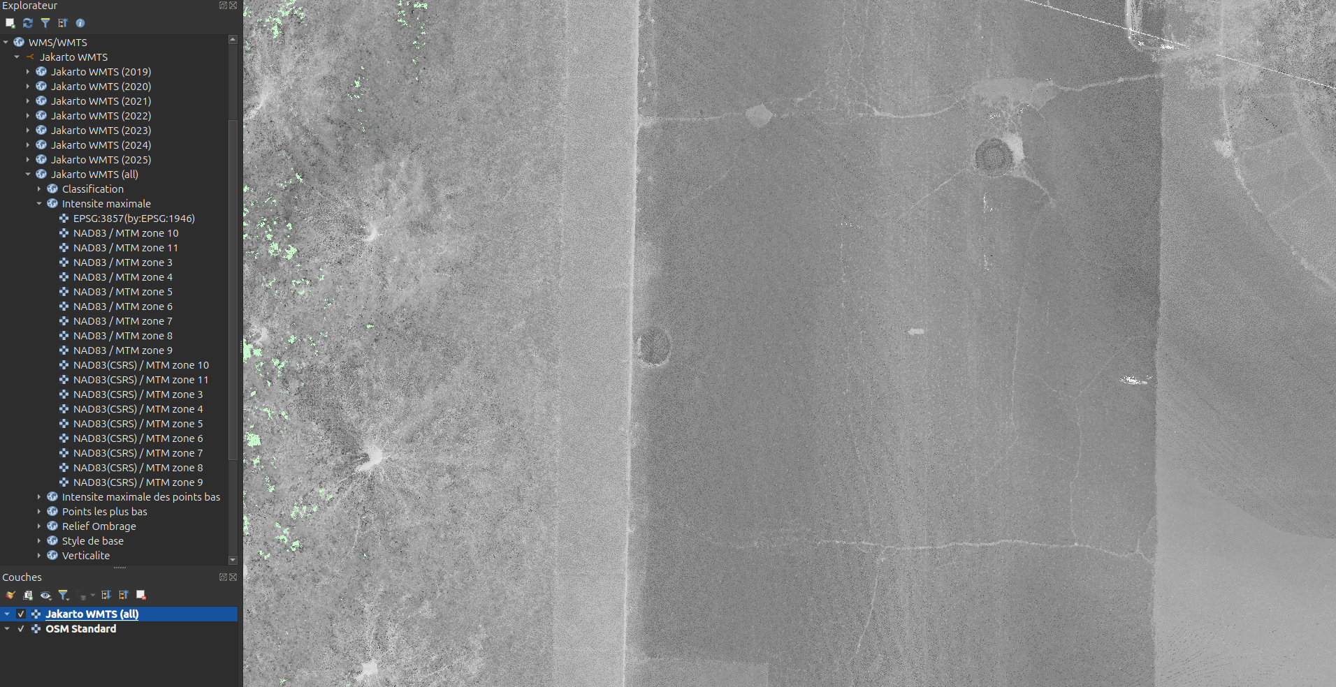
1. **You can now access the matrix tiles from the layer browser > WMS/WMTS.**
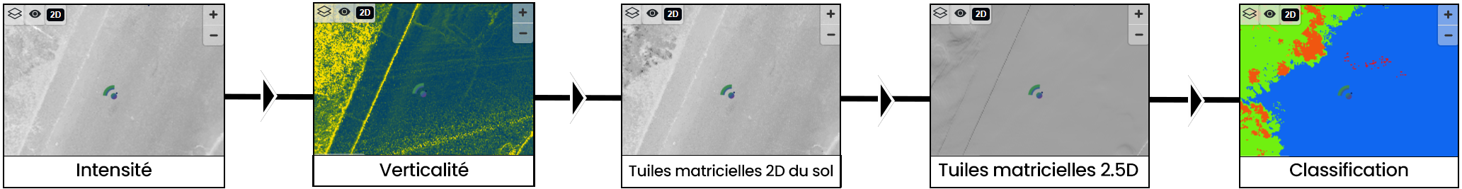
#### **Tips for adding semantics to the WMTS stream.**
1. **Add the Classification and Maximum Intensity layers to the map:**
**2. Adjust the classification layer style by setting its layer rendering blend mode to "Multiply"**
3. **Set the classification layer opacity to 30%**
**Result: a detailed and elegant basemap, powered by Jakarto data:**
%20(1).png?alt=media)
-1.png?alt=media)
%20(1).png?alt=media)
%20(1).png?alt=media)
%20(1).png?alt=media)
%20(1).png?alt=media)
%20(1)%20(1).png?alt=media)
%20(1)%20(1).png?alt=media)
%20(1).png?alt=media)